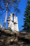
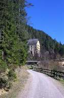
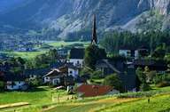
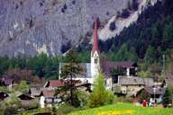
Image collection »Nassereith«
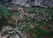
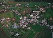
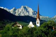
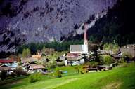
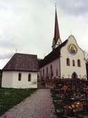
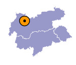
Nassereith is situated in the Gurgeltal and south of the Fern Pass at an important traffic junction: the road from south to north over the Fern Pass through the Gurgeltal to the Reschen Pass (Via Claudis Augusta, Obere Straße) and the Salzstraße Road over the Holzleiten Saddle to Innsbruck and Hall. Nassereith's heyday was in the 18th century when the village was an important mining community. In 1995 a tunnelled bypass was built to ban the traffic from the village. Today the scattered village with the large village square tries to attract tourists. New developments in the north and sparsely populated Rossbach also belong to Nassereith.
