Image collection »Mötz«
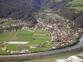
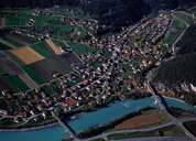
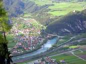
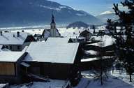
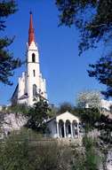
The area around Mötz has long been settled, though Mötz has only been mentioned in a document in the 12th century for the first time. Politically Mötz long belonged to Mieming and it only gained full administrative independence after World War II. Mieming has been an important traffic junction since the construction of a bridge over the Inn River in 1290. Mötz used to be the centre and starting point for the rafting on the Inn river. Within the last years Mötz has grown significantly along the Klamm Torrent. The road linking the Mieminger Plateau with the Inntal Highway runs east of the village. The popular pilgrimage church of Locherboden is situated on a hill above the village.
|
|
|
|
|
|