Image collection »Längenfeld«
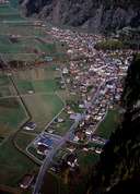
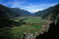
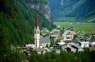
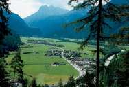
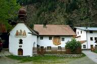
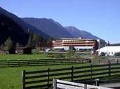
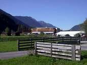
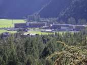
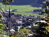
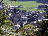
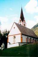
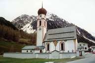
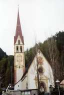
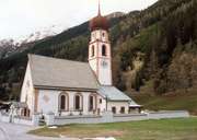
Längenfeld encompasses several hamlets and smaller and bigger villages, which are situated in a wider part of the Ötztal. The only exception is Gries, which is in the Sulztal. The centre consists of the two scattered villages of Ober- and Unterlängenfeld on the fan of the Fisch Torrent, which divides them. Längenfeld, with its numerous commercial enterprises and several schools, a great number of societies and clubs and a pulsating cultural life, is a centre in the entire valley. One hopes that tourism, which already plays an important role in the village, will get a new impulse with the new thermal bath. One of the most important sights of Längenfeld is the parish church, which was first mentioned in a document in 1303, with the highest church steeple in the valley.
|
|
|
|
|
|
|
|
|
|
|
|
|
|
|