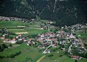
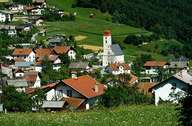
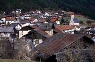
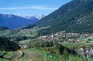
Image collection »Karrösten«
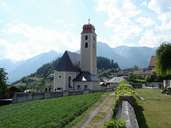
Karrösten is situated on the south-western slopes of the striking Tschirgant Mountain at the confluence of the Gurgel- and the Inntal. The area around Karrösten with its mild climate attracted people in the Bronze Age, who started mining. The mining sector had its heyday in the 16th century. Several natural disasters have threatened the life of the people in Karrrösten. Today one assumes that there could be a buried village under the present one. A geological trail informs hikers about the geological composition of the area around Karres and Karrösten. Most of the area of Karrösten is covered with forest. On the slopes more exposed to the sun, orchards and corn fields can be found.
|
|
|
|
|
|