Image collection »Karres«
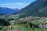
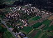
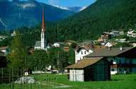
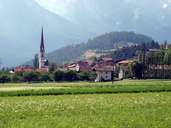
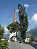
The small scattered village of Karres is situated on the foot of the impressive Tschirgant Mountain near the confluence of the rivers Pitze and Inn. Karres is a Roman foundation, but only in the Middle Ages the village gained some importance due to mining. In the historical centre buildings from this time still can be found. Many part-time farmers work the fields and forests. The local economy is based on soft tourism and some local enterprises. The centre for adult education St. Stefanus is placed in Karres.
|
|
|
|
|
|