Image collection »Jerzens«
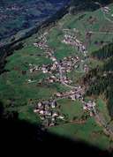
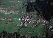
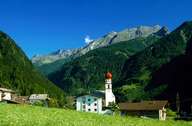
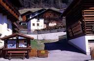
Jerzens is situated on the eastern slopes of the lower Pitztal. Before the beginning of the economic boom due to the development of tourism in the 1950's, Jerzens had been a purely rural village, which economy had been based on agriculture and craftsmanship. The construction of the funicular up the Hochzeiger, a mountain assured of snow, has not only led to the development of winter sports but also to the improvement of infrastructure in Jerzens. The former hamlets on the way up to the Hochzeiger Mountain have developed into holiday villages.
|
|
|
|
|
|