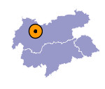
Image collection »Haiming«
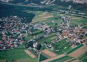
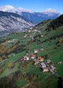
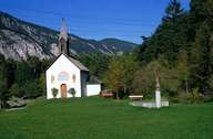
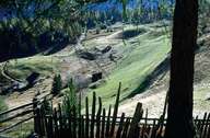
Haiming is located between Telfs and Imst in the Oberinntal region. The village of Haiming is characterized by contrasting types of settlements. Away from the main-road at the eastern edge of the Tschirgant landslide, the old scattered village of Haiming is situated. Haiming is still very much characterized by agriculture (maize, potatoes, and orchards) and farming activities. In contrast to this, in the surroundings of Ötztal Bahnhof - due to the excellent transport lines - industrial areas and houses have been built within the last decades. Today more people commute to Haiming than people from Haiming to other villages. On the southern slopes of the Inntal, Haiminger Berg is still a farming community with a road to Ochsengarten, which is - due to its proximity to the Kühtai and its skiing area - a tourist place.
|
|
|
|
|
|
