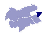
Image collection »Glocknergruppe«
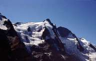
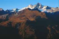
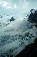
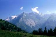
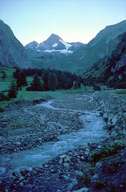
The Glocknergruppe straddles Carinthian, Salzburg and East Tyrolean territory between the Granatspitze, Goldberg and Schobergruppe. The Großglockner (3798 m) is the highest mountain in Austria. Here we also find the biggest glacier in the Eastern Alps, the Pasterze, with a length of some 7 kms. At 3454 m, the Erzherzog-Johann mountain hut, in the vicinity of the Großglockner, is the highest-altitude mountain hut in Austria. Through the construction of the Großglockner Hochalpenstraße mountain road in 1935 this alpine high mountain region was opened to mass tourism. Due to favourable geological factors and good accessibility a number of reservoirs for the production of electricity were created (Mooserboden, Wasserfallboden, Margaritze).
|
|
|
|
|
|
Further links: Hazards Chronicle Tyrol, Weblink »Wikipedia«
