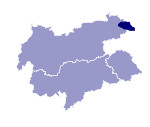
Image collection »Loferer and Leoganger Steinberge«
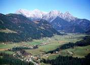
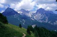
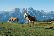
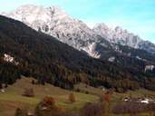
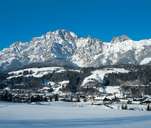
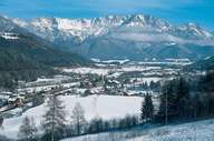
The Loferer and Leoganger Steinberge form the edge of the Nördlichen Kalkalpen (Northern Limestone Alps) in the south. They are located between the Kaisergebirge and the Kitzbüheler, Berchtesgadner and Chiemgauer Alpen. Due to their geology, the forms are very steep with precipitous rock faces. The highest peak in the Loferer Steinberge is the Große Ochsenhorn (2511 m) and in the Leoganger Steinberge the Birnhorn (2634 m). Here there is also a 14,657 m long and up to 1,005 m deep cave system: the Lamprechtsofen.
|
|
|
|
|
|
|
