Image collection »Bayerische Voralpen«
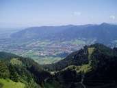
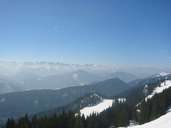
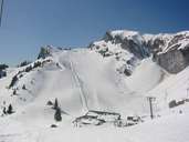
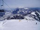
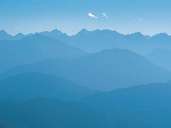
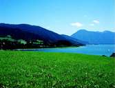
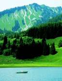
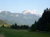
The Bavarian Voralpen (pre-Alps) stretch in an easterly direction from Garmisch as far as the Inntal valley and to the Rofangebirge in the south and run out into the Voralpen in the north. Characteristics for these Voralpen are steep, generally forested slopes and precipitous limestone rock faces. The highest peak is the Krottenkopf (2086 m) in the Estergebirge chain. Further important mountains as vantage points and for hiking are the Benediktenwand (1801 m), Wank (1780 m), Herzogstand (1731 m) and Wendelstein (1837 m). The Bavarian Alps can be further divided up into: the Estergebirge (Loisach-Walchensee), Tegernseer Berge (Isar-Tegernsee-Weiße Valepp), Schlierseer Berge (WeißeValepp-Leitsachtal) and Wendelsteingruppe (between the Leitzach, Ursprungs and Inntal valleys).
|
|
|
|
|
|
|
|
|
|