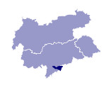
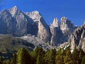
Image collection »Rosengarten«
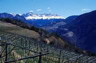
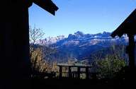
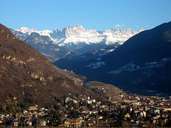
The Rosengarten stretches from the Seiser Alm in the north to the Karerpass in the south and is demarcated in the west by Tiers and Welschnofen and in the east by the Fassatal valley. The highest point is the Kesselkopf / Catinaccio d'Antermoia (3002 m). A further well-known peak is the Rosengartenspitze (2981 m). This Dolomite group is characterised by a variety of forms. The main ridge has a row of towers and rock heads while on the edges cone shapes predominate and there are also gentle hilltops and plateaux. The Rosengarten is also famous for its red glow at sunset.
|
|
|
|
|
|
Further links: Weblink »Wikipedia«
