Image collection »Langkofelgruppe«
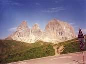
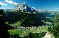
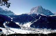
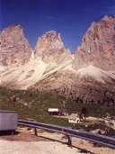
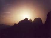
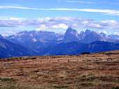
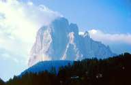
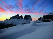
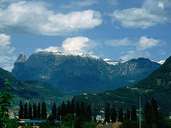
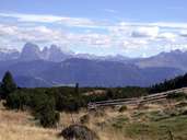
The Langkofelgruppe is located between Gröden (in the north) and the Fassatal (in the south) as well as the Rosengartengruppe (in the west) and the Sellagruppe (in the east). The almost circular mountain massif is only open towards the north-west and its centre is noticeably lower than the surrounding mountain crown with the Langkofel / Sasso Lungo (3179 m) as the highest peak. Part of the Langkofelgruppe, also in the west, is the Schlern / Sciliàr with the Petz / Monte Pez (2563 m) as its main peak. The storey-like rocky high plateau with individual towers stands in stark contrast to the gentle forms of the adjoining Seiser Alm and the intensively fissured Rosengartengruppe. The Schlern is considered to be the emblem of South Tyrol which is why, for example, the South Tyrolean news begins with a stylised picture of the Schlern and the monthly magazine on South Tyrolean culture bears its name. The Naturpark Schlern was created over an area of 6,806 hectares.
|
|
|
|
|
|
|
|
|
|
|