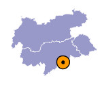
Image collection »Sellagruppe«
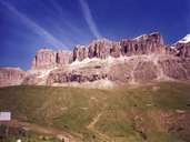
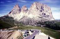
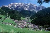
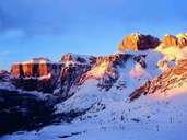
The Sellagruppe, a plateau-shaped mountain massif, is located between the Grödnerjoch, Sellajoch, Pordoijoch and Campolongo-Sattel passes. The highest point is the Piz Boè (3152 m). The area around the Sellastock has intensive tourism. In the summer the four passes are popular day trip and excursion destinations and in the winter the numerous ski areas with the skischaukel (lifts up and over both mountain sides) "Sella Ronda" are great favourites.
|
|
|
|
|
|
Further links: Weblink »Wikipedia«
