Image collection »Fanesgruppe«
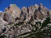
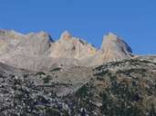
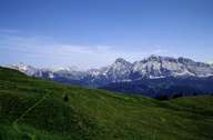
The Fanesgruppe is located in the transition area of the west to the East Dolomites. The dissected rock towers of the Faneskamm with the Fanesspitze / Punta di Mezzo (2989 m) reflect the typical structure of the western part, while the broad high plateau of the Fanesalm shows the more massive forms of the eastern part. The highest point is the Cunturines-Spitze / Piz delles Conturines (3064 m). The group is demarcated in the west by the Gadertal, in the north by the Fanestal and in the southeast by the Tofanagroup. It is also part of the Naturpark Fanes-Sennes-Prags.

|

|

|
|
