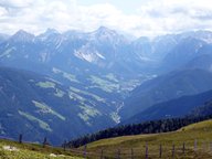
Image collection »Pragser Dolomiten«
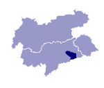
The Pragser Dolomiten lie to the south of the Pustertal between the Höhlenstein and Gader valleys. They are located in the transition zone from quatzphyllite to dolomite. While the northern area, with the intensive tourism of the Kronplatz (2272 m), has gentle forms which makes it particularly suitable, for example, as a skiing area, the further south one goes the more noticeably precipitous the forms become. The Hohe Gaisl (3146 m) is the highest point in the region. The unspoilt lake Pragser Wildsee lies in the Naturpark Fanes-Sennes-Prags.

|

|
|
