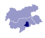
Image collection »Puez-Geislergruppe«
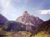
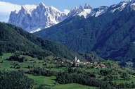
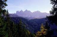
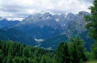
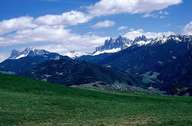
The Puez-Geislergruppe is restricted by the Eisack, Puster, Gader and Grödner valleys and can be divided into a number of sub-groups (from north to south): the Lüsener Berge are made up of quarzphyllite and with their gentle forms are in contrast to the remaining sub-groups. These mountains lend themselves readily to tourism, so that, for example, the Plose (2486 m) /La Plose is a popular skiing and hiking region. The Peitlerkofelgruppe, which marks the northern edge of the Dolomites, lies in the transition zone from quarzphyllite to Schlern dolomite. The two name giving groups of the Geisler and the Puez with their striking peaks are intensively fissured. The highest peak is the Furchetta (3030 m).
|

|
|
|
|
|
|
Further links: Weblink »Wikipedia«
