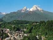
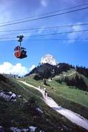
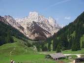
Image collection »Chiemgauer Alpen«
The area between the rivers Inn in the west and the Saalach in the east is normally referred to as the Chiemgauer Alpen. In the north they go over into the Alpenvorland (alpine foreland), in the south they border onto the Kaisergebirge and Berchtesgadner Alpen. The highest peak is the Sonntagshorn (1961 m). Further well-known peaks - also developed for tourism - are the Unterberghorn (1773 m) and the Steinplatte (1869 m). Although the peaks are not very high, the slopes are quite steep and often have deep crevices.

|

|

|
|
Further links: Weblink »Wikipedia«
