Image collection »Silvrettagruppe«
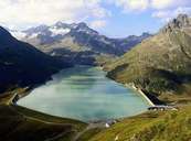
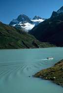
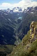
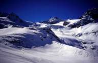
The Silvrettagruppe is located in the border region between Austria and Switzerland, between the Paznauntal, the Samnaungruppe and the Unterengadine (Lower Engadine). Because of its many high peaks over 3000 m, the region is intensely glaciated. The Piz Buin (3312 m) is one of the most well-known peaks. However, the highest peak is the Piz Lenard (3411 m).
|
|
|
|
|
|
Further links: Hazards Chronicle Tyrol, Weblink »Wikipedia«