Image collection »Verwallgruppe«
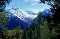
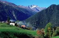
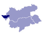
The Verwallgruppe straddles the provincial borders of Tyrol and Vorarlberg and runs between the Klostertal, Montafon and the Paznaun and Stanzertal valleys. The group lies within the crystalline zone of the eastern Alps and therefore has more gentle forms than, for example, the neighbouring Lechtaler Alpen. The highest peaks are the Hohe Riffler (3166 m) and the Kuchenspitze (3147 m).

|

|

|
|
Further links: Hazards Chronicle Tyrol, Weblink »Wikipedia«
