Image collection »Ortlergruppe«
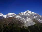
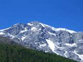
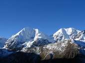
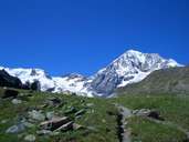
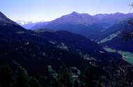
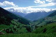
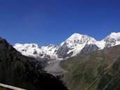
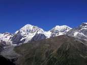
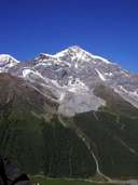
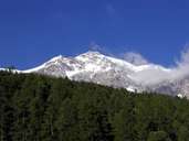
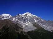
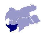
The Ortlergruppe lies in the southern Vinschgau where the three provinces of South Tyrol, Sondrio and Trentino meet. With almost 100 glaciers the group is intensely glaciated. The highest peak of the group, and at the same time the highest peak in South Tyrol, is the Ortler (3890 m). Also well-known is the Zufallspitze (3764 m). A large part of the group is under protection through the 135.000 hectare Nationalpark Stilfserjoch. During world war I the Austrian - Italian frontline was located only a few kilometres to the south of the Ortler in whose glacier there was an Austrian military position.
Further links: Weblink »Wikipedia«
