Tirol Atlas Archive

tiroLexikon

^UP

Image collection »Ötztaler Alpen«

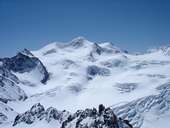
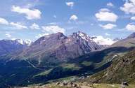
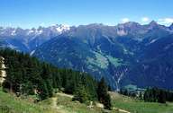
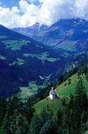
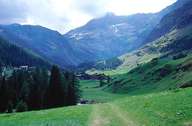
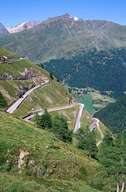
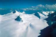
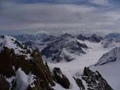
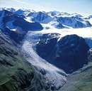
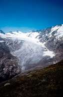
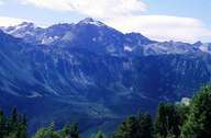
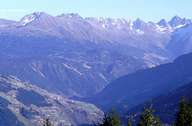
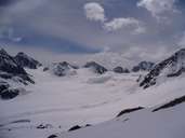
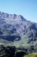
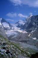
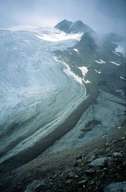
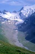
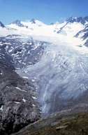
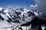
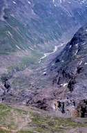
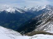
The Ötztaler Alpen make up a large part of the main alpine range between the Innal valley, the Vinschgau and the Passeier and Ötztal valleys and they are made up of crystalline slate. These alps are made up of a number of mountain ridges like, for example, the Kaunergrat, Geigenkamm, Texelgruppe and Salurnklamm and are intensely glaciated. The Gepatschferner is the biggest glacier in Tyrol and after the Pasterze the second biggest glacier in the Eastern Alps. The highest peak is the Wildspitze at 3768 m. It is also the second highest mountain in Austria. In 1991, Ötzi, the neolithic glacier mummy, was found in the Ötztaler Alpen, to be precise on the Tisenjoch.

Tirol Atlas image No.°11541
Wildspitze (3.768m)
Tirol Atlas image No.°4342
Sölden, Wildspitze
Tirol Atlas image No.°1647
View of Kaunergrat from hillside in Fendels
Tirol Atlas image No.°2339
Passeier
Tirol Atlas image No.°2328
Pfelders, Moos i.P.
Tirol Atlas image No.°2110
Timmelsjoch from Passeier
Tirol Atlas image No.°4976
Glacier - Schnalstal
Tirol Atlas image No.°9143
Linker Fernerkogel
Tirol Atlas image No.°6621
Gepatschferner
Tirol Atlas image No.°6559
Gurglerferner
Tirol Atlas image No.°4330
Köfels, Umhausen
Tirol Atlas image No.°4295
Kaunergrat
Tirol Atlas image No.°9144
Mittelbergferner
Tirol Atlas image No.°8673
rock glacier
Tirol Atlas image No.°8687
Gaißbergtal
Tirol Atlas image No.°8719
Niederjochferner, central moraine
Tirol Atlas image No.°8700
Rotmoostal
Tirol Atlas image No.°8678
Gurgler Ferner
Tirol Atlas image No.°4340
St. Leonhard, Wildspitze
Tirol Atlas image No.°8680
Langtal
Tirol Atlas image No.°9248
Jaufenpass Pass
Overview map
Topographic map
  
Further links: Hazards Chronicle Tyrol, Weblink »Wikipedia«