Tirol Atlas Archive

tiroLexikon

^UP

Image collection »Stubaier Alpen«

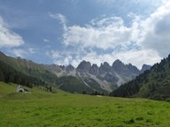
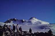
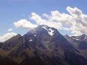
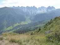
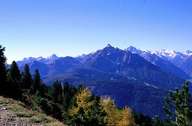
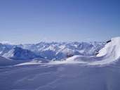
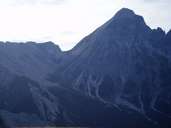
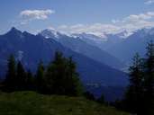
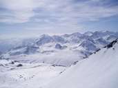
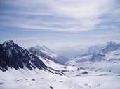
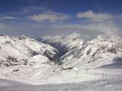
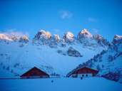
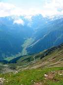
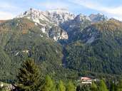
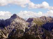
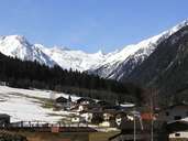
The Stubaier Alpen are located between the Ötz, Inn and Wipp valleys and the Jaufenpass. They are intensely glaciated and reach an altitude of well over 3000 m. The highest peak is the Zuckerhütl (3507 m). Geologically speaking, they consist of crystalline slate. On their eastern edge, however, the former limestone cover still remains in individual rock outcrops and these give rise to a completely different (more precipitous) appearance. Examples of these are the Pflerscher Tribulaun (3097 m) and the Serles (2717 m).

Tirol Atlas image No.°11814
en:Kalkkögel von der Kemater Alm aus
Tirol Atlas image No.°6852
Zuckerhütl
Tirol Atlas image No.°7435
Habicht
Tirol Atlas image No.°11817
en:Blick ins Senderstal vom Grieskogel aus mit Kemater Alm und Kalkkögel
Tirol Atlas image No.°4382
Serles
Tirol Atlas image No.°8564
View from Glungezer (2677 m) to Stubaier Alpen
Tirol Atlas image No.°8562
View from the south to Serles (2718 m)
Tirol Atlas image No.°8561
Starting left: Serles (2718 m), Habicht (3277 m), Zuckerhütl (3505 m)
Tirol Atlas image No.°8554
View from Pirchkogel towards south
Tirol Atlas image No.°8553
View from Pirchkogel (2828 m) to the East
Tirol Atlas image No.°7581
Skiing region Stubaier Gletscher
Tirol Atlas image No.°6750
Kemater Alm and Kalkkögel
Tirol Atlas image No.°7661
Lüsental with Stubaier Alpen
Tirol Atlas image No.°7719
Serles
Tirol Atlas image No.°7431
Serles and Pinniskamm
Tirol Atlas image No.°7577
Stubaital near Krößbach
Overview map
Topographic map
   
Further links: Hazards Chronicle Tyrol, Weblink »Wikipedia«