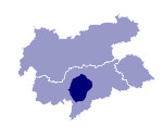
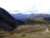
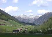
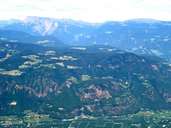
Image collection »Sarntaler Alpen«
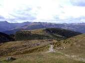
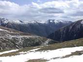
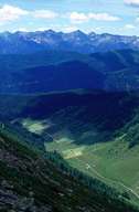
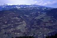
The Sarntaler Alpen are demarcated by the Passeier, Jaufen, Eisack and Etsch valleys. The highest peak is the Hirzer (2781 m). Further well-known peaks are the Jakobspitze (2742 m) and the Rittner Horn (2260 m). Because of their gentle formations the Sarntaler Alpen are a popular holiday and hiking region. In the 19th century, the Ritten, a high plateau in the southeast, was already a popular summer resort for the Bozen gentry. There are a number of earth pyramids on the Ritten. These occur when heavy rain softens up and washes away the moraine material deposited during the last ice age. Stones lying on top of the material protect it from becoming soaked and being washed away so that in this way the pyramidal forms are created.
|
|
|
|
|
|
|
|
Further links: Weblink »Wikipedia«
