Image collection »Tuxer Alpen«
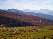
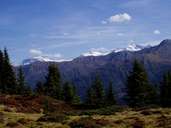
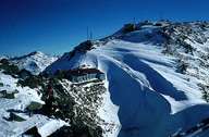
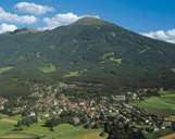
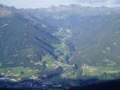
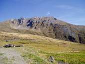
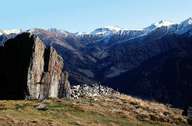
The Tuxer Alpen are located between the Wipp, Inn, Ziller and Tuxer valleys. They consist mainly of crystalline rocks, whereby the gentle gradients of the slopes lend themselves well to mountain pasture farming and winter sports. They lie in front of the Zillertaler Alpen and are not glaciated. Among the most well-known peaks are the Rastkogel (2762 m) and the Glungezer (2677 m). As a geological inconsistency, a band of limestone runs through the Tuxer Alpen and with the Lizumer Reckner (2886 m) provides striking formations.
|
|
|
|
|
|
|
|
Further links: Hazards Chronicle Tyrol, Weblink »Wikipedia«