Image collection »Kitzbüheler Alpen«
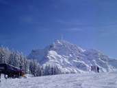
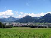
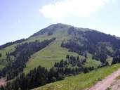
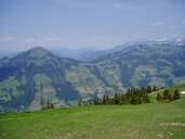
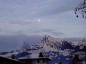
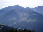
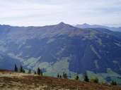
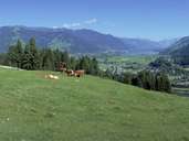
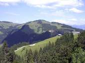
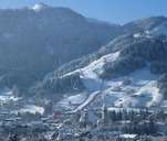
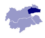
The Kitzbüheler Alpen are located in the provincial border region between Tyrol and Salzburg. They are demarcated by the Zillertal and Inntal valleys in the west, by the Kaisergebirge, Pillerseetal and the Leoganger Steinberge in the north, by the River Saalach in the east and the Oberpinzgau and Gerlostal in the south. The gentle formations, consisting of greywacke, are often referred to as the Grasberge. They reach an altitude of up to 2500 m and are popular skiing and hiking regions and form the basis for intensive tourism. Among the striking peaks are the Große Rettenstein (2366 m) and the Wiedersberger Horn (2127 m), the highest peak is the Kreuzjoch (2558 m).
Further links: Hazards Chronicle Tyrol, Weblink »Wikipedia«
