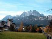
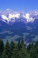
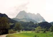
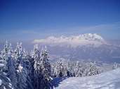
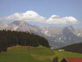
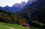
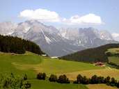
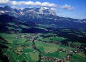
Image collection »Kaisergebirge«
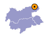
The Kaisergebirge is bounded in the west by the Inntal valley, in the north by the Unteren Schranne, in the east by the Leukental valley and in the south by the River Weißenache. It is divided up into the Zahmer (tame) Kaiser in the north and the Wilde (wild) Kaiser in the south. Their names refer to the different forms of the mountain massifs: while the Wilde Kaiser has in the main higher peaks and a more fissured appearance, the Zahme Kaiser - despite it steep slopes - has a more gentle appearance because of its lower peaks and less precipitous forms. The highest peak in the Wilde Kaiser is the Ellmauer Halt (2344 m), in the Zahme Kaiser the Pyramidenspitze which reaches a height of 1997 m.
Further links: Hazards Chronicle Tyrol, Weblink »Wikipedia«
