Tirol Atlas Archive

tiroLexikon

^UP

Image collection »Karwendel«

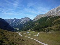
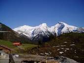
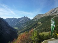
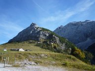
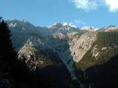
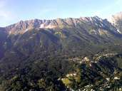
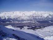
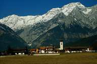
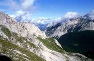
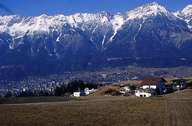
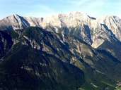
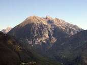
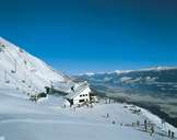
The Karwendel stretches from west to east in four mountain chains between the Seefelder Sattel and Lake Achensee. Typical for this region are the steep scree cones beneath the limestone rock faces. The southernmost chain is the Innsbrucker Nordkette with the Hafelekarspitze (2334 m). Further well-known peaks are the Betterlwurfspitze (2726 m) and the Mondscheinspitze (2106 m). The highest peak is the Birkkarspitze (2749 m). The Alpenpark Karwendel with an area of 920 m2 which is located here, is one of the biggest protected areas in the Eastern Alps.

Tirol Atlas image No.°11798
en:Karwendeltal talauswärts Blickrichtung Hochalm
Tirol Atlas image No.°8534
Rißtal
Tirol Atlas image No.°11799
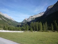
en:Blick vom Karwendelhaus (1771m) talauswärts
Tirol Atlas image No.°11801
en:Blick zum Karwendelhaus (1771m)
Tirol Atlas image No.°11803
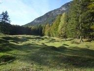
en:Buckelwiesen am Eingang zum Karwendeltal
Tirol Atlas image No.°11797
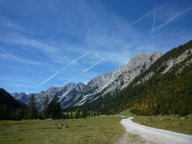
en:Karwendeltal talauswärts Blickrichtung Angeralm (1310m)
Tirol Atlas image No.°11802
en:Karwendeltal taleinwärts Blickrichtung Hochalmsattel (1803m) und Karwendelhaus (1771m)
Tirol Atlas image No.°6474
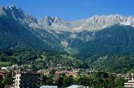
Innsbruck, Höttinger Graben with Nordkette
Tirol Atlas image No.°7457
Kleiner Solstein, Hohe Warte and Brandjochspitze
Tirol Atlas image No.°7552
Nordkette near Innsbruck
Tirol Atlas image No.°8522
View from Glungezer to Karwendel and Bettelwurf
Tirol Atlas image No.°5003
Mils, view of Bettelwurf
Tirol Atlas image No.°4195
Karwendel
Tirol Atlas image No.°1446
Aldrans with a view of the Nordkette
Tirol Atlas image No.°7555
Nordkette near Innsbruck
Tirol Atlas image No.°7420
Großer and Kleiner Solstein
Tirol Atlas image No.°7679
Seegrube, Innsbruck
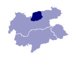
Overview map
Topographic map
  
Further links: Hazards Chronicle Tyrol, Weblink »Wikipedia«