Tirol Atlas Archive

tiroLexikon

^UP

Image collection »Wettersteingebirge«

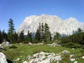
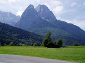
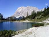
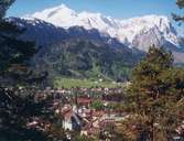
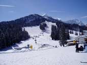
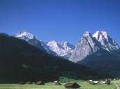
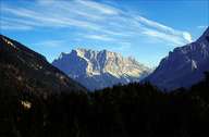
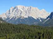
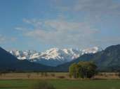
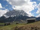
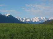
The Wettersteingebirge is located south of Garmisch between the rivers Loisach and Leutascher Ache and the Seefelder Senke. It consists of Wetterstein limestone and therefore has very precipitous forms, it also includes the highest mountain in Germany, the Zugspitze, with its 2963 m. Further peaks worth mentioning are the Hochwanner (2744 m) and the Wettersteinwand (2484 m).

Tirol Atlas image No.°7576
Wettersteingebirge
Tirol Atlas image No.°8568
Waxenstein
Tirol Atlas image No.°7574
Seebensee, view of the Wettersteingebirge
Tirol Atlas image No.°7756
Garmisch-Partenkirchen with Alpspitze and Zugspitze
Tirol Atlas image No.°8563
Ski region Hausberg, Garmisch-Partenkirchen
Tirol Atlas image No.°7753
Waxenstein and Alpspitze
Tirol Atlas image No.°4152
Zugspitze
Tirol Atlas image No.°7721
Zugspitze
Tirol Atlas image No.°7022
Zugspitze
Tirol Atlas image No.°7305
Zugspitze, Münchner Haus
Tirol Atlas image No.°9151
Murnauer Moos
Tirol Atlas image No.°9155
Tyrolean part of the Zugspitze
Tirol Atlas image No.°9152
Wettersteingebirge
Overview map
Topographic map
  
Further links: Hazards Chronicle Tyrol, Weblink »Wikipedia«