Tirol Atlas Archive

tiroLexikon

^UP

Image collection »Mieminger Kette«

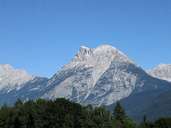
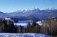
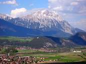
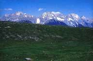
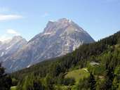
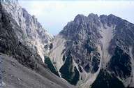
The Mieminger Kette runs between the Fernpaß and Seefelder Senke on the one side and the Wettersteingebirge and the Inntal valley on the other. It is made up of Wetterstein limestone and its rock faces fall off steeply. The Mieminger Plateau lies at its southern base. Among the highest peaks are the Hochplattig (2768 m) and the Hohe Munde (2662 m).

Tirol Atlas image No.°7416
Hohe Munde (2662m)
Tirol Atlas image No.°2247
Mieminger Gebirge
Tirol Atlas image No.°6455
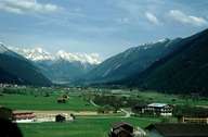
Gurgltal
Tirol Atlas image No.°8099
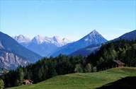
Mieminger Plateau and Hohe Munde
Tirol Atlas image No.°7724
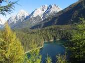
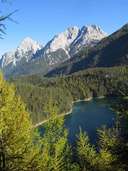
Blindsee and Mieminger Gebirge
Tirol Atlas image No.°4167
Tschirgant
Tirol Atlas image No.°4157
View of Tschirgant and Mieminger Kette
Tirol Atlas image No.°7415
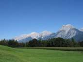
Mieminger Gebirge and Hoher Munde
Tirol Atlas image No.°4148
Mieminger Gebirge
Tirol Atlas image No.°7133
Hohe Munde
Tirol Atlas image No.°7723
Blindsee and Mieminger Gebirge
Tirol Atlas image No.°4149
Stöttltörl
Overview map
Topographic map
   
Further links: Weblink »Wikipedia«