Image collection »Lechtaler Alpen«
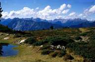
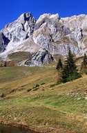
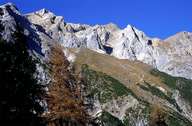
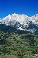
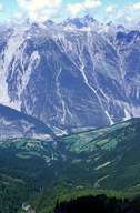
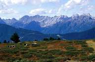
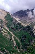
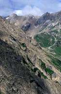
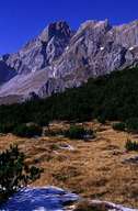
From an area point of view, the Lechtaler Alpen are the biggest mountain group in the northern limestone alps. In the north their boundary is marked by the River Lech, in the south by the Inntal valley and the Arlbergpass, in the west by the River Ill and in the east by the Gurgltal valley. The highest peak is the Parseierspitze (3036 m), the Heiterwand (2639 m) and the Muttekopf (2774 m) are also well-known.
|
|
|
|
|
|
|
|
|
|
Further links: Hazards Chronicle Tyrol, Weblink »Wikipedia«