Image collection »Allgäuer Alpen«
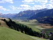
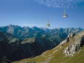
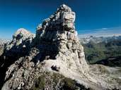
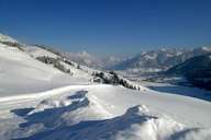
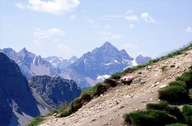
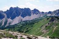
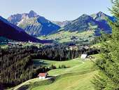
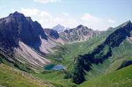
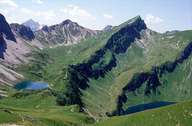
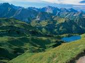
The Allgäuer Alpen are located on both German and Austrian territory. To the north they are demarcated by the Alpenvorland (alpine foreland), in the east and south by the Rivers Lech and Bregenzer Ache and in the west by the Bregenzer Wald. Characteristics are the precipitous limestone pinnacles and the scree cones on the slopes. The highest peak is the Große Krottenkopf (2656 m). Further well-known peaks are the Nebelhorn (2224 m), Hoher Ifen (2230 m) and Hochgrat (1832 m). Sub-groups of the Allgäuer Alpen are the Nagefluhkette (from Hittisau to Immenstadt) and the Tannheimer Berge mountains (north of the Tannheimer Tal valley as far as the Voralpenland).
|
|
|
|
|
|
|
|
|
|
|
Further links: Weblink »Wikipedia«