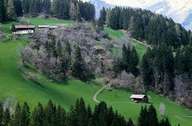
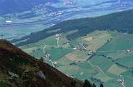
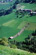
Image collection »Voldertal«
The Voldertal runs in a south-north direction and joins the Inntal at Volders. A denser population is here found mainly on the slopes (Klein- and Großvolderberg). From the hamlet of Volderwildbach onwards there are only alpine pastures. The hamlet got its name from the medicinal spring (iron, saltpetre, vitriol, sulphur, alum) which emerges from a former mine gallery. The spring was first mentioned in chronicles in 1463. In 1625 the Badkapelle chapel was built and the other buildings followed in the 19th - 20th centuries. Nowadays the baths are closed.
|
|
|
|