Image collection »Gurgler Tal«
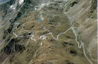
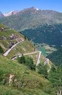
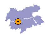
The Gurgler Tal (length 10 kms) branches off in a southerly direction at the end of the Ötztal near Zwieselstein. The settlements of Obergurgl (1907 m) and the hotel settlement of Hochgurgl (2154 m) at the head of the valley, on the road to the Timmelsjoch which leads to Meran, constitute an intensive tourist area based on a winter skiing region. The Timmelsjoch (2474 m) is one of the highest mountain passes in the Ostalpen (Eastern Alps). In former times shepherds drove their flocks from South Tyrol over to the meadows in the Ötztal and merchants transported their goods. One can still see parts of the old smuggler trail. Nowadays, the pass road is important mainly for tourism.

|

|
|
