Image collection »Pfitscher Tal«
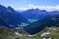
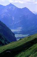
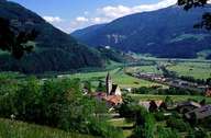
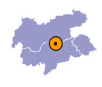
The 36 km long Pfitscher Tal starts near Sterzing on the orographic left side of the Eisack and stretches to the Zillertaler Alpen. The entrance to the valley lies at an altitude of 950 m and is characterized by the climate dominating the Sterzinger Becken. The further east one goes, the rougher the climate in the valley gets. The high valley, which reaches an altitude of 1500 m, was first settled in the 6th and 7th century by Bavarian tribes. The geology of the lower part of the valley consists of Bündner Schist. The upper part on the other hand belongs to the lower schist cover of the Tauernfenster. The village of Wiesen - the centre of the valley - was first mentioned in a document in 1288. Despite agriculture, which still plays an important role, the mining of copper and pyrites once played an important role.

|

|

|

|
|
|
