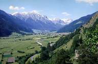
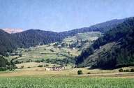
Image collection »Münstertal«
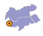
The Münstertal stretches from Glurns to the Ofenpass in the west. Parts of the valley lie within the Swiss canton of Grisons. Geologically the entire valley consists of Vinschgauer schistous rocks. The valley is characterized by numerous fans. The striking difference between the rather dry Sonnberg (between Laatsch and Calvenbrücke) and the wooded Nörderberg is not only an interesting, but also a typical feature of the Münstertal. The administrative and cultural centre of the valley is Taufers. The ruins of Fortress Rotund and the ruin of the Castle Reichenberg on the other side lie high above the valley. These fortifications once guarded the route from Vinschgau to Engadin. For a long time the main sources of income in the valley were timber and due to the mild climate in the region agriculture.

|

|
|
