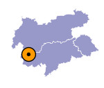
Image collection »Matscher Tal«
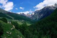
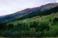
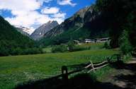
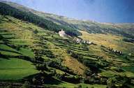
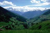
The Matscher Tal belongs administratively to the village of Mals. It starts near Schluderns and runs up to the main crest of the Ötztaler Alps. Within a distance of around 20 km nearly 3000 metres of altitude difference are covered. The valley consists of gneiss, mica slate and of Vinschgauer schistous rocks. The area is characterized by steep slopes. Due to the scantiness of the soil the valley, the people living there remained poor. The history of the valley is closely linked with the one of the Reeves of Matsch. The Raeto-Romanic character of the valley is still present. An example for that are the many field and farm names and the term "Rätische Fluren" (Raetic leas). These leas are impressive field terraces, which were built under a lot of effort and have retaining walls that measure between 10 and 15 m in height. Before the valley was incorporated with Mals in 1927, Matsch had formed an administratively independent community.
|
|
|
|
|
|
