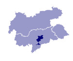
Image collection »Eisacktal«
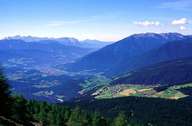
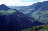
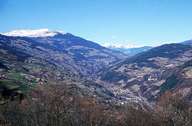
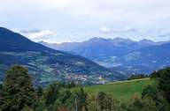
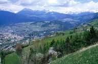
The historical term "Eisacktal" defines the part of the valley from Franzensfeste to Bozen. The headwaters of the Eisack and the Sill, though in two valleys, are called Wipptal. The Eisacktal between Franzensfeste and Bozen is subdivided into three parts. The Natzer Plateau, which is situated in the triangle between Franzensfeste, Mühlbachl and Brixen, is a plateau composed of gravel and moraines. The part of the valley between Brixen and Klausen is characterized by a flat bottom. Terraces run along the valley, especially on the western side. Due to the geology (Bozner Quartz Porphyry) between Klausen and Bozen the valley narrows gorge-like. Settlements can only be found on narrow terraces on the sunny slopes. Above these settlements alpine pastures stretch on the eastern slopes of the Sarntaler Alpen. In contrast to the Wipptal in the north, the landscape and the climatic conditions change in the Eisacktal. Due to the mild climate from the Brixner Becken southwards, intensive orcharding and winegrowing is possible. The town of Brixen is the largest and most important settlement in the Eisacktal and along the most important artery for the traffic crossing the Alps from north to south.
|
|
|
|
|
|
