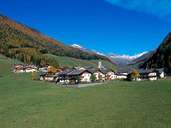
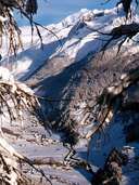
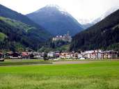
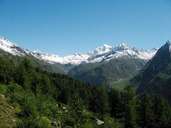
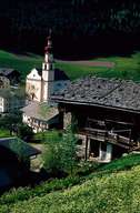
Image collection »Ahrntal«
The Ahrntal meets the Taufertal in the community of Sand in Taufers by the castle mount of Taufers. The orographic right side of the valley lies in a central gneiss zone, while the opposite side is part of the schieferhülle. The Ahrntal glacier has left its mark through deposits which cover almost the entire valley floor. At the very end of the valley at Prettau there is evidence of early mining activity. Historically, the development of the area is linked to the rise of the noble Taufers family. The major sources of employment in the valley are farming and increasingly tourism. In 1929 six independent communities were amalgamated to form the local administrative community of the Ahrntal. In 1958 Prettau became an independent community once more.
|
|
|
|
|
|
|