Image collection »Zemmgrund«
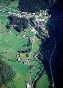
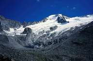
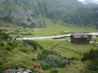
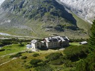
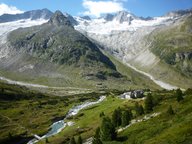
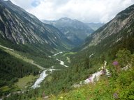
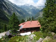
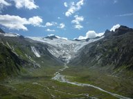
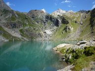
The Zemmgrund is one of the so-called "Innere Gründe" source valleys of the Zillertal and branches off into a number of side valleys. These reach up to the glacier world of the Zillertaler Alpen and on account of their seclusion and untouched nature like, for example, the Floitengrund and Gunggl, are a part of very popular hiking area. Built up out of the central gneiss of the Tauern and slate rocks, the Zemmgrund runs into the outer Tuxer Tal through the Dornaubergklamm just before Mayrhofen. From an administrative point of view, the right side of the valley with the settlement of Ginzling belongs to Mayrhofen, while Dornauberg to the left of Zemmbach is part of the community of Finkenberg.
|
|
|
|
|
|
|
|
|
|
|