Image collection »Wildschönau«
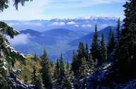
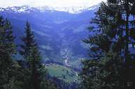
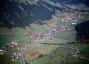
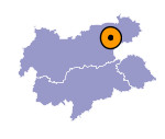
The Wildschönau (also the name of the community) is not a valley in the true sense of the word, but is more like a network of valleys that can nowadays be reached by road in two directions from the west (Wörgl and Hopfgarten). An important unit is the east-west running high valley which was formed during the ice age which here constitutes the dividing line between the Kalkalpen and the Zentralalpen and which is drained on both sides. The high valley falls off in a westerly direction to the south-north running and long-stretched out valley of the Wildschönauer Ache, which, lying in the zone of the hard limestones, runs into the Inntal at the Kundler Klamm. The poverty of this once isolated area that depended to a great extent on farming, led to many Wilschönauer emigrating to Brazil in the 1930s. Nowadays this attractive area is dominated by tourism which has clearly left its marks on the settlements.

|

|

|
|
