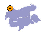
Image collection »Tannheimer Tal«
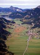
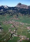
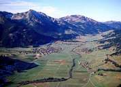
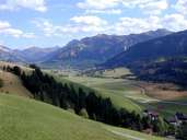
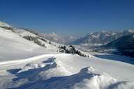
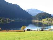
The Tannheimertal, an approx. 20km long high valley with a valley watershed, stretches from the entrance of the Hängetal into the Lechtal at Weißenbach to the Oberjoch at the Bavarian border. The Gaichtpass forms the connection to the Lechtal for the settlements at an average altitude of 1100m. Apart from the pointed peaks of the famous Tannheimer Kletterberge consisting of Wetterstein limestone, gentle forms dominate the scenery whose attractiveness is enhanced by two larger lakes, Haldensee and Vilsalpsee. In the valley we find the 16km2 natural protected area of the Vilsalpsee known for its flora (river horsetail, field horsetail, bill selvedge). The favourable morphological prerequisites have led to the construction of numerous lift facilities over the last three decades which have also given a great boost to winter tourism.
|
|
|
|
|
|
|
|
