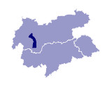
Image collection »Pitztal«
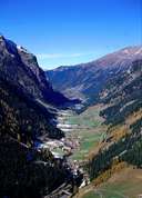
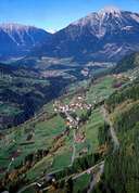
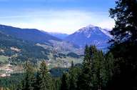
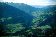
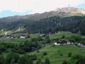
The head of the Pitztal begins at the north side of the Wildspitze and runs from the south to the north into the Inntal after approx. 40kms. The narrow inner valley section - the actual Pitztal - flanked by high mountains, has a narrow, even valley floor where individual farms and hamlets spread out. The river Pitze overcomes its difference in elevation between the valley floor at St. Leonhard and its confluence with the Inn over approx. 20kms by passing through gorge-like valley stretches. The outer stretch of valley at Wenns has a completely different valley form in which the gentle inclines of the valley sides are populated with villages on both sides. The gentle outer valley is made up of quartzphyllite while the inner valley, characterised by alpine rocks, is made up of gneiss. The scenery at the head of the valley is dominated by the winter tourism of the glacier ski region with its lift facilities.
|
|
|
|
|
|
