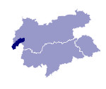
Image collection »Paznauntal«
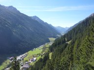
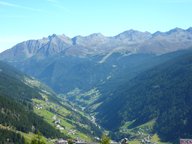
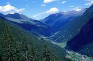
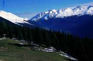
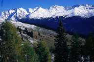
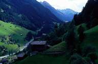
The approx. 30km long Paznauntal lies between the Verwall and the Samnaun Mountain groups that are made up principally of gneiss and mica slate. Its spring arms rise at the watershed Danube-Rhine at the Zeinisjoch or on the Bielerhöhe respectively at an altitude of approx. 2000m. The valley runs from the southwest to the northeast between Galtür at the head of the valley and the exit gorge which runs into the Stanzertal close to the Trisanna Bridge. Only at the head of the valley is the valley floor dissected by numerous debris fans. Over wide stretches from Ischgl onwards towards the valley exit there is a V-shaped valley whose narrow steep sunny side is subdivided into narrow slope terraces which are relatively densely settled with individual and groups of farms. The shadow valley side is wooded down to the valley floor. Extensive mountain pastures in the side valleys contribute to the economic basis of the tiny farms. However, tourism has been the most important economic factor for years which has changed the appearance of the head of the valley and the main villages of Galtür and Ischgl completely.
|
|
|
|
|
|
|
