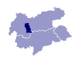
Image collection »Ötztal«
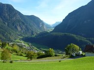
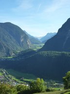
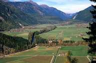
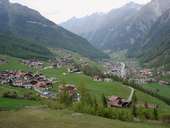
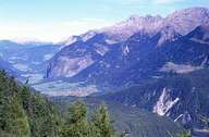
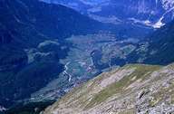
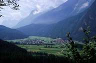
With a length of approximately 60 kilometres the Ötztal runs from south to north and is the Inn`s longest side valley. It`s most characteristic feature are the four valley stages at Ötz, Umhausen, Längenfeld and Sölden that are each limited by narrow stretches and gorges created by rock falls. The mountains which lie completely within the Ötztaler Alps and are made up mainly of granite and gneiss, reach an altitude of 3007m at the exit of the valley (Achterkogel) and 3768m (Wildspitze) at the head of the valley. The valley, which was only settled in the High Middle Ages, remained purely agrarian for a long time, whereby the growing of flax played an important role. Introduced 100 years ago tourism gradually came to dominate the economy of the valley, in particular in the community of Sölden where tourism has clearly left its mark on the appearance of the settlement over the last decades.
|
|
|
|
|
|
|
|
