Image collection »Navistal«
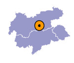
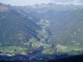
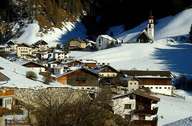
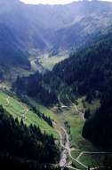
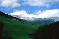
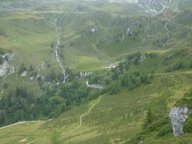
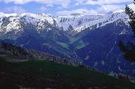
The Navistal runs in a generally east-west direction and joins the Wipptal at Matrei. The climatically favourable valley is a V-shaped valley and along its entire course is only populated on the sunny slopes, while the shaded side is wooded down to the Talbach on the valley floor.The approx. 10km long Navistal is the only side valley of the northern Wipptal that has no continuously even valley floor. Extensive mountain pastures are the economic basis of the individual farms that were built in the High Middle Ages along the Oberweg and Unterweg. Up to the 20th century the expansion of the settlements in the Navistal remained limited and the settlements have only expanded over the last few years, especially at the exit of the valley.
|
|
|
|
|
|
|
|
|
|
Further links: Weblink »Wikipedia«
