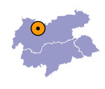
Image collection »Mieminger Plateau«
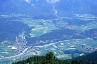
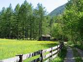
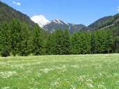
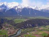
The Mieminger Plateau runs alongside the Inntal as a northern low mountain range terrace between Telfs and the drop into the Gurgltal at the Holzleitensattel in the west, wherby a gradual rise in elevation of the plateau from about 850m to Obsteig (1000m) and to the Holzleitensattel (1100m) can be detected. The partly even, partly distinctly formed and deeply-furrowed plateau landscape is a result of the last ice age. The southern border of the Mieminger Plateau to the Inntal is created by the low rock ridge of the Achenberg. The nature reserve of the Mieminger Plateau around the local communities of Nassereith and Obsteig has existed since 1981 and includes, above all, the exceptional feature of the larch meadows in the area of the Holzleitensattel. Traces of settlements in this climatically favourable region with its sunny position, date back to the stone age. Nowadays the Mieminger Plateau has become a popular area to live and is marked by the strong growth of its settlements.
|
|
|
|
|
|
