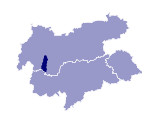
Image collection »Kaunertal«
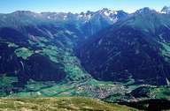
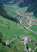
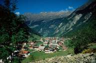
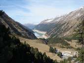
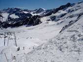
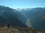
The 20km long valley with the River Fagge runs from an easterly direction into the legal jurisdiction area of the Upper Inntal at Prutz. After a few kilometres the narrow Trogtal, located between the high crystalline chains of the Glockenturmkamm and the Kaunergrat, takes a southerly turn. The once sparsely cultivated landscape, characterised by mountain agriculture with hamlets and individual farms along the valley, has since 1982 become part of the summer skiing area of the Weißseegletscher and the regions of eternal ice can be reached by means of the Glacier Panorama Road and numerous lift facilities. Since the 1960s the centre of the valley has been dominated by the several kilometre-long Gepatsch reservoir used to produce electricity.
|
|
|
|
|
|
|
Further links: Hazards Chronicle Tyrol
