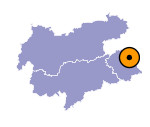
Image collection »Kalsertal«
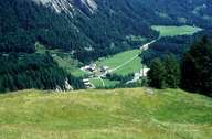
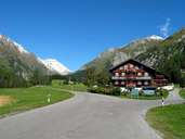
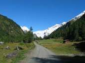
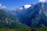
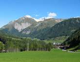
The over 20km long Kalsertal that is also called Dorfertal in its upper sections, runs into the Isel as an eastern side valley through a gorge at Huben. The Kalsertal is surrounded by numerous 3000m high mountains of the Hohen Tauern range, divided up into the Granatspitz Group, the Glockner Group and the Schober Group that consist of different crystalline slates. The main settlement, Kals, is reached over a steep valley stage at the centre of the valley and has become an important tourist centre. Copper mining, which probably dated back to Roman times, continued until the end of the 18th century. The controversial intention in the 1980s to build a dam in the extensive pasture region of the Dorfertal could be warded off. Since 1991 the Kalsertal is part of the 1800m2 Nationalpark Hohe Tauern.
|
|
|
|
|
|
