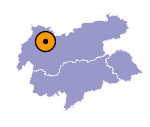
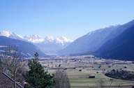
Image collection »Gurgltal«
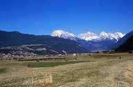
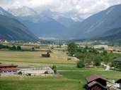
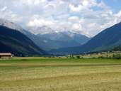
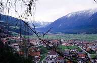
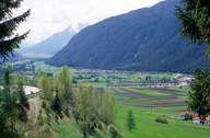
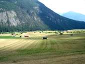
The 10 kilometre long Gurgltal extends in a south-westerly direction from Nassereith to Imst where, as a northerly side valley, it runs into the Inntal. The valley is drained by the Gurglbach, also called Biger, the headwaters of which lie in the Fernpass landslide region. A mighty side arm of the Inn Glacier formed this valley which is wooded down to the valley floor. Scenically particularly attractive are the numerous haystacks on the lightly undulating and marshy valley floor as well as the field terraces on the slope of the Holzleitensattel south of Nassereith which are made up of ground moraines. The Gurgltal already played an important role in Roman times as a major transit route over the Fernpass and the Reschenpass (Via Claudia Augusta).
|
|
|
|
|
|
|
|
|
|
