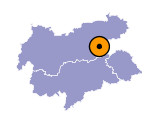
Image collection »Gerlostal«
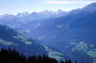
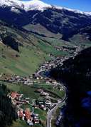
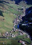
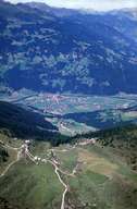
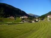
The east-west running Gerlostal runs into the Zillertal through a deep gorge at Zell am Ziller. The road on the south side of the valley overcomes the steep gradient by means of numerous hairpin bends and leads over the Gerlospass (1507m) to the province of Salzburg and on into the Pinzgau. On the steep slopes of the outer section of the valley there are mainly individual farms. The valley floor only evens out after the valley centre where at an altitude of over 1200m the main settlement of Gerlos, marked by tourism, is able to spread itself out. Numerous lift facilities (Zillertal Arena) underline the importance of tourism as an economic factor in this high altitude valley. The side valleys that branch off to the north and south are devoted to alpine farming. Since 1967 the six kilometre long and two kilometre wide Durlassboden reservoir has dominated the scenery at the head of the valley.
|
|
|
|
|
|
